Ascent from the Plöckenpass to the Zollnersee Hütte

Nehézségi fokozat: nehéz
  • 14.8 km
    Útvonal
  • 7 óra
    Időtartam
  • 1218 szintkül.
    Legalacsonyabb pont
  • 2167 szintkül.
    Legmagasabb pont
  • 1412 szintkül.
  • 892 szintkül.

Ascent from the Plöckenpass to the Zollnersee Hütte

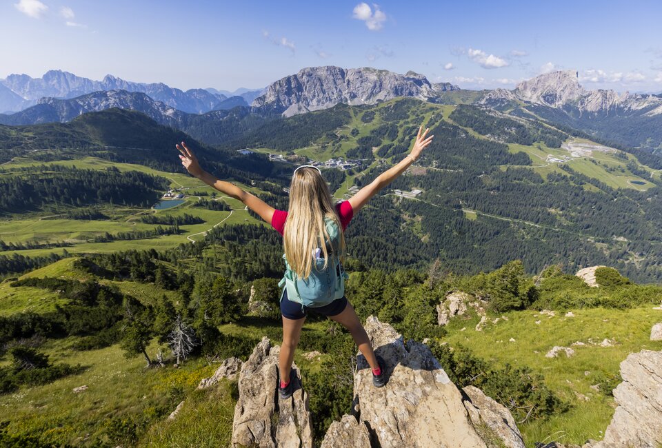
Although the Zollnersee Hütte is still one of the bases on the Carnic High Mountain Trail, most hikers are only travelling between Sillian and the Plöcken Pass. From the Plöckenpass eastwards, you can experience the wilder side of the Carnic High Mountain Trail. In terms of scenery, it is in no way inferior to the more popular section and orientation is not difficult either. You hike north of the Carnic ridge on easily recognisable paths and can enjoy a magnificent view of the surrounding mountains from the summit of the Köderkopf.
Javaslat

As part of the hike, it is worth visiting the museum on the Plöcken Pass. In the small open-air museum, you can learn about the dark past of the mountain war of 1915-1918. Further information about visiting the museum can be found here.

Felszerelés
Normal hiking equipment incl. sturdy hiking boots, first aid kit, weatherproof clothing. Also hut sleeping bag, hut shoes, cash etc. for overnight stays in huts.

Útbaigazítás

From the car park at the Plöckenhaus, hike east past the Grünsee lake and then climb up the slope to the left and then cross to the ruined Untere Spielbodenalm (1621m). Continue across alpine meadows to the Obere Spielbodenalm (not farmed) and turn right at the next crossroads. Cross the slopes below Elferspitz and Laucheck and walk past another derelict mountain hut. After the Obere Tschintemuntalm, you continue to cross the slopes and reach a fork in the path below the Köderhöhe, where you turn left and ascend to the Köderkopf (2167m). On the other side, you descend to the head of the Kronhofgraben valley, walk in a curve below the Kronhofer Törl to the other side of the valley and soon afterwards come to a forest road. Follow this road to the Obere Bischofalm (1573m, farmed), where you can buy home-grown produce. From the alpine pasture, follow the marked hiking trail to the south-east and climb uphill through a section of forest. The metres in altitude are then mastered and the route continues over the flat and lush green alpine pastures to the Zollnersee hut (1750m), which is already visible.

Fekvés és megközelítés

A Nassfeld-Pressegger See üdülőrégió az ausztriai Karintiában fekszik, közvetlenül az olasz határ ​mellett.

Érkezés tervezése

Mit szeretnél felfedezni?

NLW Badespass Tag65