We recommend studying the available folder - available at the entrance!
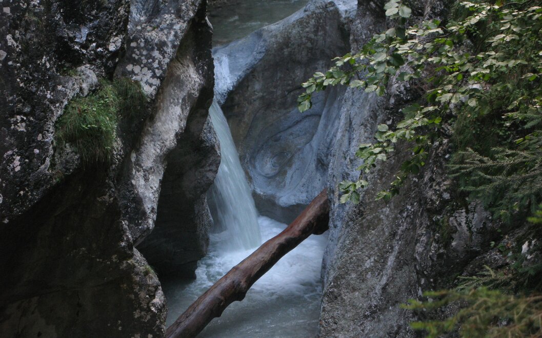
From the car park, after paying the maintenance fee, continue along the rushing stream, over bridges with views down to the Idawarte. The largest waterfall in the gorge offers a marvellous spectacle and is easily reached after 30 minutes. From there, climb to bridge no. 3 - deep below us, the stream rushes through spectacularly coloured rock formations. Upstream, we see the famous whirlpools modelled out of the rock by the water. Start of the 2nd section, approx. 45 minutes to this point.
Soon afterwards, we marvel at the hikers' artistic endeavours, the countless cairns that seem to defy gravity - until the next flood! Forest takes us in, moss-covered rocks provide a romantic backdrop.
Option 1:
Before reaching the emergency shelter, we can cross bridge no. 5, path 485/410, in the direction of the Urbanikirche church. This dates back to the early 16th century and contains Gothic wall paintings. From the junction to the church, the walk takes approx. 1 ¼ hours. Descend via path no. 410 towards Möderndorf and the car park at the entrance to the gorge. This circular route takes approx. 3 ½ hours.
Option 2:
We continue our hike on the footbridge under bridge 5 through the gorge, reach the emergency shelter and the 3rd part of the gorge. This is densely wooded, but also offers very interesting views of the towering rocks and the green water. Bridges 6 and 7 are not passable for dogs. Before the end of the 3rd section, a roaring waterfall awaits us - view from a rocky ridge. Walk through the 3rd section - approx. 45 min.
The 4th section is exposed, the path is very slippery in places. It begins after crossing the goods road. We can walk along this towards the Urbanikirche church, approx. 1 ¼ h and return to the car park. (Total duration approx. 4 - 5 hours) => This variant is shown on the map!
Variant 3:
Attentive hikers will notice a rock mill in the stream bed in the first section of the 4th part, which was created in 2009. A light-coloured boulder has hollowed out the soft rock during a flood. This section of the trail is around 35 minutes long and ends at a huge torrent dam - the end of the gorge trail.
From here it is possible to continue via the Kühweger Alm or the Garnitzenalm to the Nassfeld, each about 3 - 4 hours. Both mountain huts are open in summer, but there are no mountain huts in the gorge itself.


