03 Southern Alpine Trail, E18: Thörl-Maglern - Dolinzaalm

Moeilijkheidsgraad: gemiddeld
  • 22.1 km
    Afstand
  • 8 h
    Duur
  • 660 hm
    Laagste punt
  • 1741 hm
    Hoogste punt
  • 1798 hm
  • 1002 hm
tour.wysiwyg.pretitle

03 Southern Alpine Trail, E18: Thörl-Maglern - Dolinzaalm

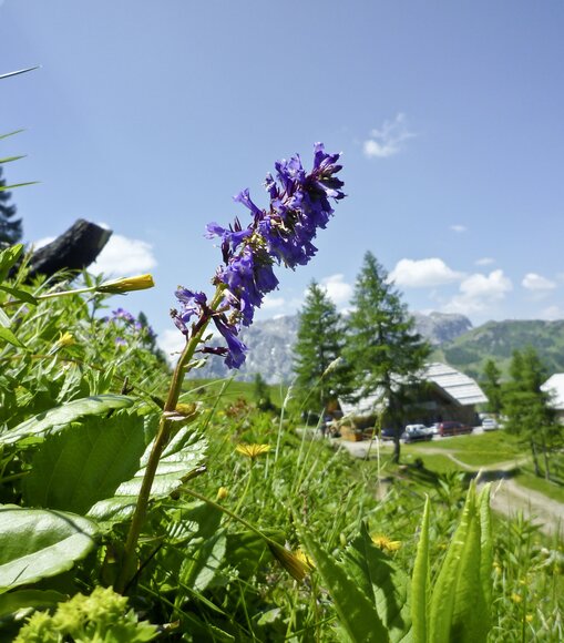
Today's destination is the Dolinzaalm with the Starhandhütte, which we will reach in the late afternoon via the eastern foothills of the Carnic Alps. The panoramic trail leads us across gentle alpine pastures (Göriacher and Achomitzer Alm), along this and the other side of the state border, further and further west. The views of the mighty mountain ranges of the Julian Alps make this tour a highlight.
Suggestie
If you are fit enough, you can climb the Oisternig 2052 m from the Feistritzer Alm.
Uitrusting
Sturdy hiking boots, possibly hiking poles

Every rucksack should include: Rain, cold and sun protection, first aid kit, mobile phone (Euro emergency number 112), plenty of fluids, hiking map of the region.

tour.wysiwyg.pretitle

Routebeschrijving

Thörl-Maglern (640 m, K) - Göriacher Alpe (1640 m, 7 km/3 hrs.) - Bartolosattel (1173 m, 5 km/1 ¾ hrs.) - Achomitzer Alm (1712 m, 5 km/2 hrs.) or Feistritzer Alm (1722 m, K, 2 km/½ hrs.) - Dolinzaalm (1459 m, K, 2 km/¾ hrs.)

K = checkpoint (stamp point).

Trail 403, Via Alpina, 21 km/8 hours in total, medium tour.

Locatie en hoe vind je ons

De Nassfelder-Pressegger See vakantie regio is gelegen in de de provintie Karinthie, direct aan de Italiaanse grens.

Reis plannen

Wat wil je ontdekken?

NLW Badespass Tag65