03 Sentiero delle Alpi meridionali, E18: Thörl-Maglern - Dolinzaalm

Livello di difficoltà: medio
  • 22.1 km
    Distanza
  • 8 h
    Durata
  • 660 hm
    Punto più basso
  • 1741 hm
    Punto più alto
  • 1798 hm
  • 1002 hm

03 Sentiero delle Alpi meridionali, E18: Thörl-Maglern - Dolinzaalm

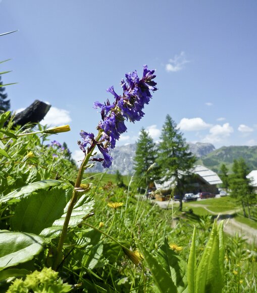
Today's destination is the Dolinzaalm with the Starhandhütte, which we will reach in the late afternoon via the eastern foothills of the Carnic Alps. The panoramic trail leads us across gentle alpine pastures (Göriacher and Achomitzer Alm), along this and the other side of the state border, further and further west. The views of the mighty mountain ranges of the Julian Alps make this tour a highlight.
Equipaggiamento
Sturdy hiking boots, possibly hiking poles

Every rucksack should include: Rain, cold and sun protection, first aid kit, mobile phone (Euro emergency number 112), plenty of fluids, hiking map of the region.

Indicazioni

Thörl-Maglern (640 m, K) - Göriacher Alpe (1640 m, 7 km/3 Std.) - Bartolosattel (1173 m, 5 km/1 ¾ Std.) - Achomitzer Alm (1712 m, 5 km/2 Std.) oder Feistritzer Alm (1722 m, K, 2 km/½ Std.) - Dolinzaalm (1459 m, K, 2 km/¾ Std.)

K = Kontrollpunkt (Stempelstelle).

Weg 403, Via Alpina, insg. 21 km/8 Std., mittlere Tour.

Punto di arrivo

La destinazione turistica di Nassfeld
Pressegger See si trova in Carinzia/Austria,
direttamente sul confine con l’Italia.

Pianificare viaggio

Cosa desideri scoprire?

NLW Badespass Tag65