WW_N6 Old Kreuzberg Road

Level of difficulty: Medium
  • 8.5 km
    Distance
  • 4 h
    Duration
  • 803 vm
    Lowest elevation
  • 1267 vm
    Highest elevation
  • 563 vm
  • 121 vm

WW_N6 Old Kreuzberg Road

From Weißbriach the hike leads over the old Kreuzbergstraße and the Plattenweg to the Waisacher Alm - Trail No. 16 & 10/10a
Suggestion
From the Kreuzbergsattel, you can follow the federal road and take the footpath on the right to Weissensee (about 1 hour).
Equipment
Sturdy footwear, rain gear if needed, sun protection, drinks and snacks
Directions

By car

From the north (D, NL, DK):

- Tauern motorway – Spittal interchange - direction Lienz - Greifenburg - over the Kreuzberg – Weißbriach

- Salzburg - Badgastein (rail loading Tauern shuttle) - Mallnitz - Möllbrücke - Greifenburg - over the Kreuzberg – Weißbriach

From the west (CH, F):

- Felbertauern - Mittersill - Lienz - Greifenburg - over the Kreuzberg - Weißbriach

From the south (I, SLO):

- Udine - Hermagor/Gailtal exit - Hermagor - Weißbriach

- Karawanken motorway - Villach junction - direction Italy - Hermagor/Gailtal exit - Hermagor - Weißbriach

From the east (SLO, HR):

- Klagenfurt – Villach - Hermagor/Gailtal exit - Hermagor - Weißbriach

By plane

The nearest airport is located in Klagenfurt.

Airport transfer services via Gitschtalreisen Wastian and Mobilbüro Hermagor are possible.
Directions

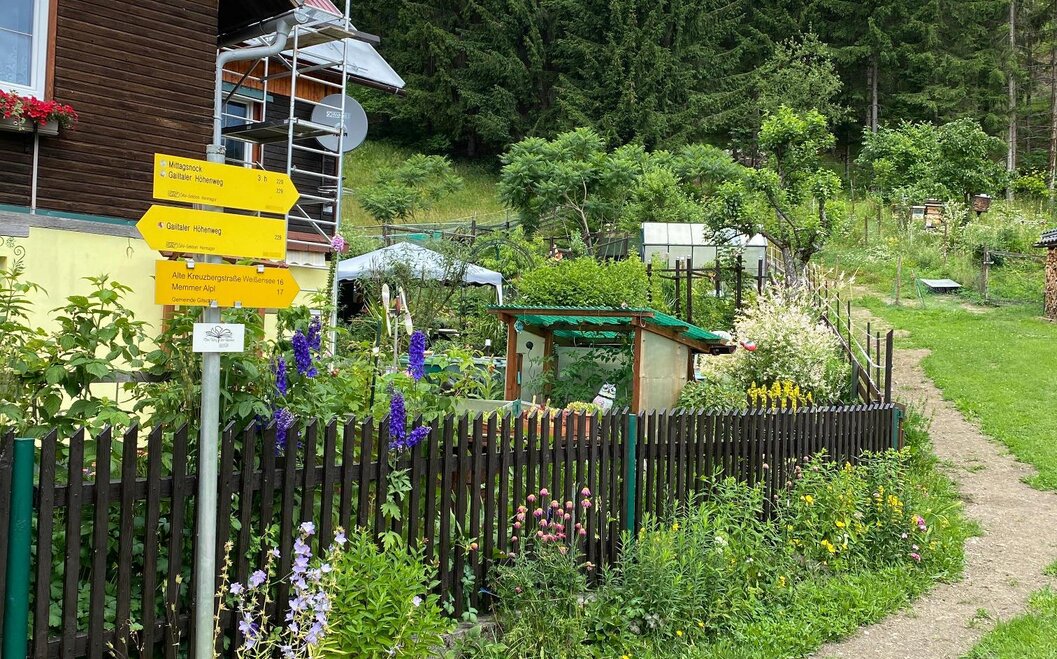
Nach dem Schwimmbad rechts den Steig hinauf bis zur Bundesstraße – diese queren – weiter auf der alten Kreuzbergstraße - beim Moosmüller vorbei - auf den Kreuzbergsattel (1.074m) - links 150 m auf der Bundesstraße, dann rechts auf den Grafenweger Höhenweg – dieser mündet in den Plattenweg (9). Retour geht es über den Plattenweg (9) oder über die Waisacher Alm (10) nach Weißbriach.

Location and how to find us

The Nassfeld-Pressegger See holiday region lies in the Austrian province of Carinthia, directly next to the Italian border.

Plan your journey

What do you want to discover?

NLW Badespass Tag65