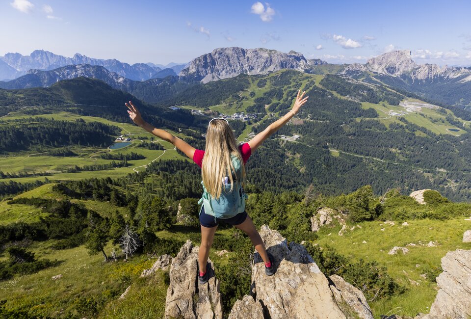
Monte Cocco 1,941 m and Schönwipfel 1,911 m
From the car park, the path leads quite steeply up to the saddle, the path to the two peaks is then less strenuous. The descent from the Schönwipfel to the Uggovitzer Alm is initially pathless, later continuing on a path to the saddle at the cold well, formerly a non-public border crossing between Austria and Italy. From here, the path descends without difficulty, later on a path to the starting point.
There are virtually no markings on the entire tour!
Some impressions of the tour
Directions
From the car park on a road, keep right at the turn-off and continue past several junctions to the right until you reach a bridge on the left. Shortly after the bridge, the ascent first leads over a steep concrete path, then on a gravel path until it continues to the right at a fence. From here, continue steeply uphill across alpine pastures following the tracks to a saddle (1,814 m).
From the saddle, turn left, also following the unmarked tracks up to Monte Cocco.
Take the same route back to the saddle.
From the saddle and to the right over alpine pastures again without markings, past a varnish on the Schönwipfel (Cima Bella).
From the Schönwipfel, first descend over alpine pastures in a north-easterly direction without a recognisable trail until you reach a white boundary stone that can be seen from afar, where a clear path begins on the left through the forest in the direction of the Uggowitzer Alm. As soon as possible, leave the path in a north-easterly direction and walk across alpine pastures to the saddle at the cold well. From here, follow the forest path until it meets the ascent path. Keep right at a fork and continue along a forest path, past an old barracks building, until an unmarked path (be careful, follow the "Val Uque" sign here) leads off to the left across a small meadow and then into the forest. This path later rejoins a forest path and after a while you reach the car park.


